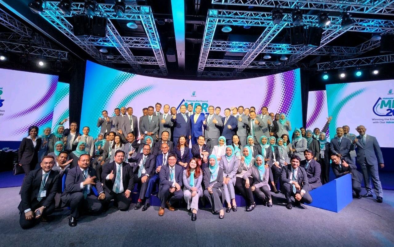
🗺️ MBR 2023 | PETRONAS
MBR 2023 is a peak event that culminates all the effort of data collection and stock take of hydrocarbon resource in the Malaysia. It is an annual event that put together all the exploration blocks, discoverable hydrocarbon fields and late life assets for upstream sectors to evaluate and invest in.
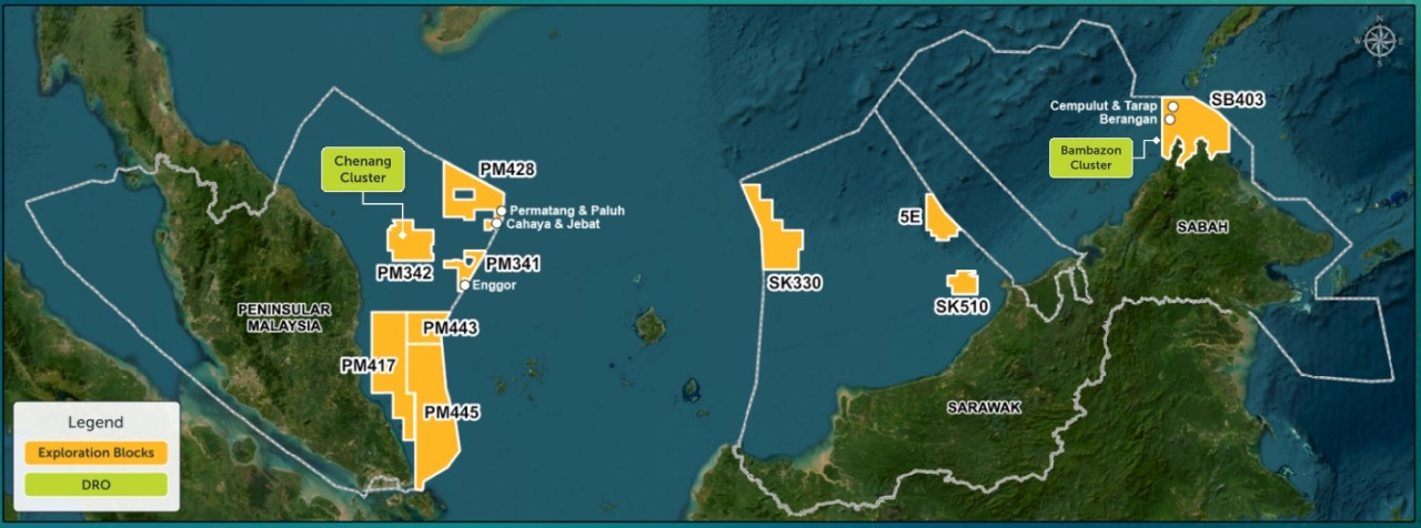
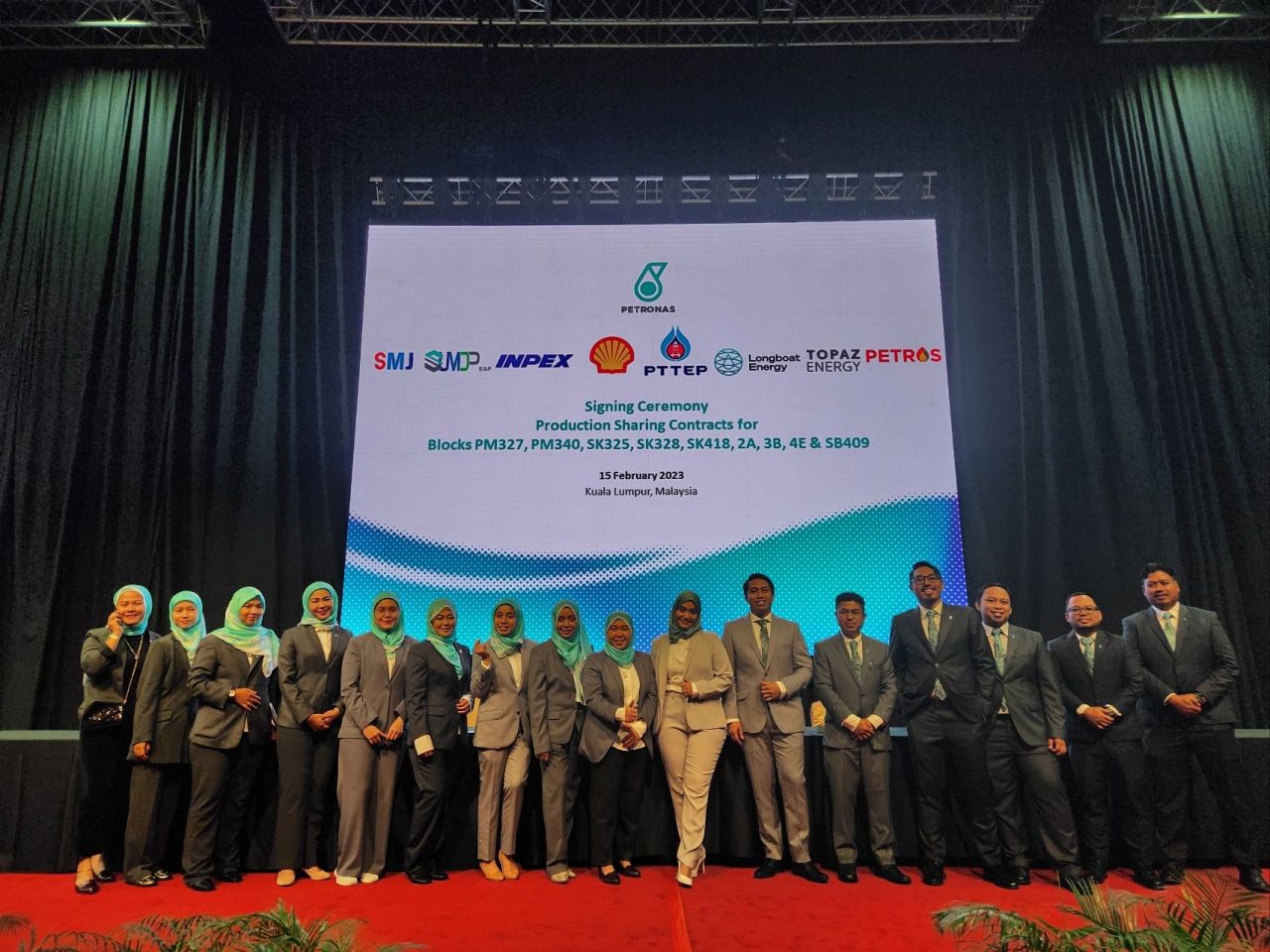
Leading up to the event, the Malaysia Petroleum Management (MPM) updates, re-evaluate and produces maps; static and digital, to cater to the need for the most recent stock-take of information that can be obtained from various source of exploration output; seismic, full tensor gradiometry, assets; cables, pipelines, platforms, as well as discoverable resources. This year’s theme aims to include various prospects and initiative to align the industry itself with lower carbon emission and to explore the option for carbon capture storage (CCS) attempts in the popular basins such as the Malay and Penyu Basin. This is a big follow-up with the closing of MBR 2022 with the PSC signing for 9 blocks a few days earlier.
Credit: Sh Shahira Wafa Syed Khairulmunir Wafa
Technical aspects of cartographical output\
Over ~70 maps for unique blocks have been produced during the finalization stage, ~210 maps during data evaluation and additional 20 for the event. And this excludes the standardized maps to formalize information requested by prospective bidders as well as clients who are facing prospects of extending their contract.
Data verification is an essential aspect for Production Sharing Contracts (PSC) or Joint Operating Agreements (JOA) where coordinates are verified geomatically before finalization for hydrocarbon resource is issued out for bidding.
Cartography in map mass production posed a certain challenge where layers of information are deemed as equally important which triggers the need to produce best-fit visualization techniques while maintaining comprehesion of the map products. The obvious remediation to such dillemma would be the over-preparedness of thematic standards for symbolization, colors, fonts and organization of the map based on the different layers of users among clients. The standardization of the map also requires the optimization of workflow and standard templates to cater to rapid changes and exporting to rapid output.
For more information on the event, please access the following resources:
- PETRONAS: Malaysia Bid Round
- PETRONAS myPROdata
- The Malaysian Reserve: Petronas offers 10 exploration blocks in MBR 2023
TOOLS
1️⃣ ArcGIS Pro 2.9.3
2️⃣ ArcGIS Online
3️⃣ Python