🌏 Peta Guna Tanah Malaysia 2014-2018 | FRIM
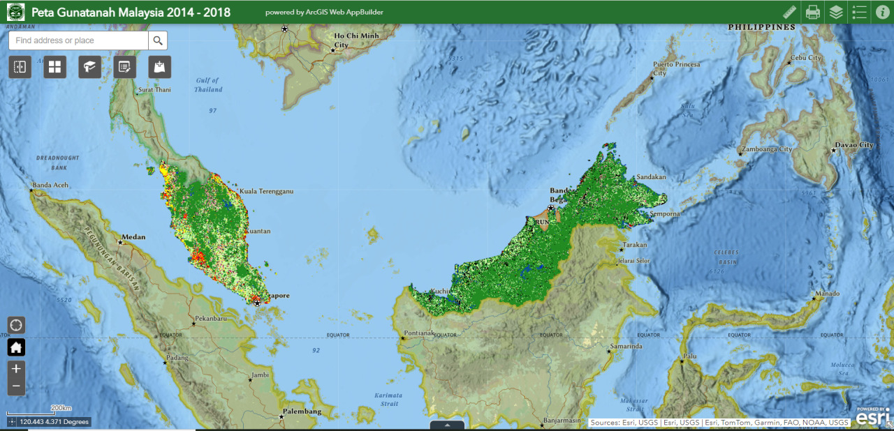
Peta Gunatanah Malaysia 2014 -2018 Malaysia’s Land Cover 2014 - 2018 web application is a platform generated for the Quality Assessment activity organized by Forest Research Institute Malaysia (FRIM) on 23rd June 2024.
The workshop aims to collect field/reference data from Malaysian’s state agencies in the effort to verify the quality of the land cover classification output generated to support CO2 release measurement from converted agricultural lands.
Interactive multi-platform tool
The development of the web application aims to allow users to submit their own data or observations/opinions/comments over the generated data without any intermittent obstruction by means of devices or tools. The app is expected to trigger interest and remove obstacles between GIS tool users by producing a tool that aligns with other apps that they are exposed to constantly.
Participants are able access the app via conventional browsers from their mobile devices and submit drawings/sketches that they have captured within interactive data layers. Vectors generated from this exercise are readily standardized with the required data scheme from quality assessment, making full use of the ArcGIS Online ecosystem full to a produce concrete output and actionable information. The direct input from source onto the task of improving the accuracy of the generated land cover maps is expected to be a straight line, end-to-end solution.
TOOLS
1️⃣ ArcGIS Pro 2.9.3
2️⃣ ArcGIS Online
3️⃣ Python
4️⃣ HTML