📄 33rd NGC 2021
The presentation of abstract Deep Forest Cover Classification of Consecutive Landsat Imageries over Borneo outlined the implementation of deep learning in land cover classification across the Borneo island. This study used the Sentinel-2 image data and the band combination that differentiates the bareland, tree cover as well as waterbodies and croplands whilst training the U-Net model using the referenced data collected.
Please find the abstract published here:
Centralized interface for concise and dynamic reporting
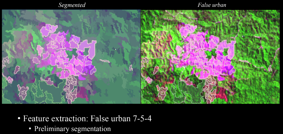
Deep learning features in ArcGIS Pro comprises of libraries that enable the deep learning workflow pipeline. The processes shows how markly different the handling of data, feature extraction and hyperparameters to match an expected output. Although the output is smoother and more contextual, its interpretability is not as evident as conventional machine learning algorithms used for pixel classification.
NGC2021: Deep Forest Cover Classification of Consecutive Landsat Imageries over Borneo
TOOLS
1️⃣ ArcGIS Pro 3.0.1
2️⃣ Python
3️⃣ Jupyter Notebook
4️⃣ ArcGIS Pro Deep Learning Extension